Last updated:
BIM Area Classification: A Practical Guide
TL;DR
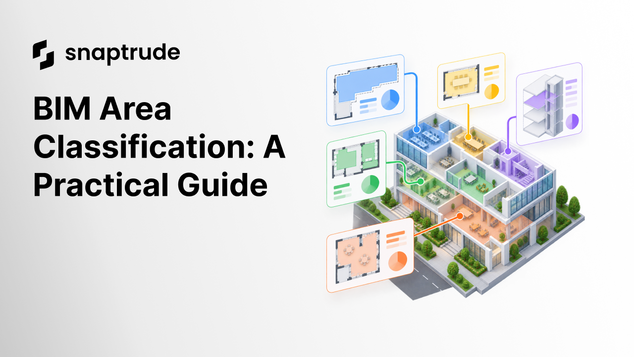
BIM area classification assigns a stated meaning and measurement method to an area value. A trustworthy model keeps the geometry, boundary rule, classification, formula, unit, source standard, and roll-up behavior visible. Gross, net, usable, rentable, departmental, and custom areas should coexist as governed views of space, not as interchangeable labels.
What is BIM area classification?
BIM area classification is the process of identifying what an area value represents, how its boundary is measured, which spaces contribute, and how the result rolls up. It turns a number into information that can be compared, scheduled, exchanged, and reviewed.
The area of a room can be geometrically correct and still answer the wrong question. A project may need program area, usable area, internal area, rentable area, gross floor area, construction area, department area, or a custom planning category. Those values may use different boundaries, include different spaces, or apply at different grains. Calling all of them “area” is a data-quality problem disguised as simplicity.
buildingSMART defines IfcQuantityArea as a derived area measure calculated under a specific method of measurement. Its data model can carry a name, description, unit, value, formula, and external reference. The important idea is not a particular IFC field. It is that a quantity should travel with enough semantic context to be interpreted. (buildingSMART source for IfcQuantityArea)
A useful area record answers these questions:
1. Which object or scope is measured?
2. Where is the measurement boundary?
3. Which method or standard applies?
4. Which inclusions and exclusions apply?
5. What unit and precision are used?
6. Is the value measured, calculated, targeted, or assumed?
7. How does it roll up into larger totals?
8. Which source, revision, and reviewer govern it?
Why do gross, net, and usable areas conflict?
Gross, net, and usable areas conflict when teams use familiar labels without agreeing on their definitions. The words sound intuitive, but their measurement boundaries and inclusions can vary across standards, asset types, owners, leases, jurisdictions, and project stages.
A model may also contain several valid totals at once. One value can measure the floor to an exterior boundary. Another can sum occupiable spaces. Another can represent departmental program area. Another can include a planning allowance for circulation not yet modeled. The conflict begins when the interface collapses these values into one column or when a schedule adds values with different bases.
RICS's International Property Measurement Standards page illustrates the role of a formal standard. It describes a consistent methodology for measuring buildings rather than relying on casual labels. A project using another standard may produce a different valid result. The team should therefore declare the standard before comparing areas, not after a discrepancy appears. (RICS International Property Measurement Standards)
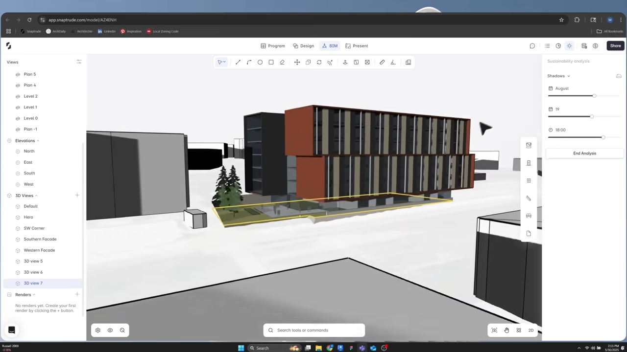
Learn how area-panel filters can show the basis of a reported number.
Explore Snaptrude with one floor and schedule its area under two explicitly defined classifications, then compare the boundary and roll-up rules.
How should a BIM area classification system be structured?
A BIM area classification system should separate physical space identity from the views used to report it. One space can carry several independent tags, such as department, use, occupancy, lease group, measurement class, and program package. These dimensions should not be forced into one hierarchy when the project needs to group them differently.
Start with three layers:
Space identity
Give every modeled space a stable identifier, name, level, and location. The identifier should survive a rename. It lets schedules, briefs, issues, and exchange files refer to the same object.
Classification dimensions
Create separate fields for the independent questions the project asks. Department may answer who uses the space. Space type may answer what it does. Measurement class may answer how it contributes to an area total. Status may answer whether it is existing, proposed, demolished, or excluded.
Quantity definitions
Define each reportable quantity with a measurement boundary, method, unit, inclusions, exclusions, formula, and roll-up rule. Keep target and actual values in separate fields even when they use the same unit.
This structure avoids a common trap: making the room label do every job. A room named “Shared Meeting” should not need a naming convention to reveal its department, measurement status, accessibility group, project phase, and program package. Put each concept in its own governed field.
How do you create reliable BIM area classifications?
Create reliable BIM area classifications by choosing the question first, then defining boundaries and roll-ups, configuring fields, testing exceptions, and validating the rendered schedule against model geometry.
1. List the decisions the area data must support
Examples include program compliance, development appraisal, leasing, departmental allocation, code review, energy analysis, and client reporting. Each decision may require a different area view.
2. Name the governing methods
Record the standard, client method, or jurisdictional rule for each value. Include the edition or effective date. If the project uses a custom method, write its boundary and inclusion rules in plain language.
3. Separate classifications from quantities
A classification such as “circulation” describes the space. A quantity such as “usable area” measures it under a rule. Do not encode the quantity method only in the room category or infer the category only from its geometry.
4. Define roll-ups and overlaps
State whether each space contributes to a project, building, level, department, lease, or program total. Decide whether classifications are mutually exclusive. If a shared space belongs to several reporting groups, define allocation rather than counting it fully in each.
5. Test boundary conditions
Review shafts, atria, voids, columns, exterior walls, party walls, balconies, terraces, double-height spaces, interstitial zones, ramps, stairs, and unassigned areas. These exceptions reveal whether a written definition has been translated consistently.
6. Validate geometry and schedules together
Select sample spaces and trace each scheduled number back to its boundary. Then reconcile totals from detail to floor, building, and project. A correct grand total can still conceal misclassified spaces that happen to cancel one another.
GSA's BIM Guide describes space objects as important model elements carrying information such as name, number, area, and volume. It also connects spatial information to comparison with the original program and notes that space geometry should update when its bounding elements change. This is the useful loop: a controlled boundary produces a quantity, a classification determines its role, and the program provides a comparison. (GSA BIM Guide 05)
How should targets, actuals, and formulas coexist?
Targets, actuals, and formulas should occupy separate fields with explicit lineage. A target comes from the brief or an approved planning decision. An actual comes from current model geometry under a stated measurement method. A formula derives another value from those inputs. None should silently replace another.
For example, a department may have a target area of 2,000 square meters. The modeled spaces assigned to it may total 1,850 square meters under the project's program-area rule. A planning factor may estimate support space that is not yet modeled. The schedule should show all three states, along with the variance and calculation basis, rather than displaying one blended number.
Use these safeguards:
• Store the formula or rule name beside the calculated value.
• Preserve the original target and its source revision.
• Mark manual overrides and show who approved them.
• Keep planning allowances distinct from geometric actuals.
• Recalculate affected totals when a space changes class.
• Show unclassified area rather than excluding it silently.
• Reconcile totals at every hierarchy level.
buildingSMART's quantity definition includes an optional formula as informational context and requires area units for area quantities. That small detail captures a broader principle: values need type, method, and unit, not just a number.
Read how program spreadsheets can carry design intent into BIM.
How do you audit BIM area classification?
Audit BIM area classification by sampling space objects, testing totals, reviewing exceptions, and checking exchange outputs. Do not stop at visual inspection of the schedule.
Use this sequence:
1. Confirm the selected standard, edition, and project-specific interpretation.
2. Verify units, precision, and rounding at detail and total levels.
3. Select edge cases and trace each boundary in plan and section.
4. Find spaces with blank, deprecated, or duplicate classification values.
5. Compare target, actual, allowance, and variance fields for improper reuse.
6. Check each hierarchy for double counting and missing contributors.
7. Change one sample space and confirm every intended view updates.
8. Export the model and inspect whether space identity, quantities, units, and classifications remain intelligible.
9. Record exceptions and assign owners rather than correcting them informally.
The export check is essential. A classification that works only inside one interface may not support coordination, analysis, or handover. Preserve recognizable field names and document mappings to exchange concepts.
How does Snaptrude support BIM area classification?
Snaptrude's Program Mode supports AI-assisted space planning, area calculations, adjacency planning, and a direct connection from program data to 3D design. Custom space tags can classify spaces in multiple ways. BIM Mode supports building elements, quantities, plans, sections, elevations, schedules, and IFC export.
These capabilities allow teams to keep program requirements, modeled spaces, and schedule views close to the design. The project team still needs to choose the governing measurement standards, define independent classification dimensions, and decide how values roll up. Software can calculate a rule consistently only after the rule has been made explicit.
See how custom tags can classify spaces across several program dimensions.
References
IfcQuantityArea: buildingSMART International's official IFC 4.3 repository. It defines an area quantity with value, unit, formula, description, and reference context under a method of measurement.
International Property Measurement Standards: Royal Institution of Chartered Surveyors. It describes a consistent methodology for measuring buildings and links the current IPMS resources.
GSA BIM Guide 05: U.S. General Services Administration. It connects modeled spaces, area information, bounding geometry, and comparison with spatial-program requirements.
FAQ: BIM Area Classification
Q: What is BIM area classification?
A: BIM area classification gives an area value a defined purpose and measurement basis. It identifies what is measured, where the boundary lies, which method applies, what is included, how the value rolls up, and whether it is an actual, target, or assumption. This context lets teams compare, schedule, exchange, and audit area data reliably.
Q: Is gross area the same in every BIM project?
A: No. Gross-area definitions can vary by measurement standard, owner, jurisdiction, asset type, and intended use. State the governing method and edition, identify the measurement boundary and exclusions, and avoid comparing totals calculated under different rules. A familiar label does not make the underlying measurement universal or suitable for every project decision.
Q: Can one space have several area classifications?
A: Yes. One physical space may belong to a department, functional type, occupancy group, lease area, measurement class, program package, and project phase at the same time. Store independent dimensions in separate fields. Then define how each reporting view includes or allocates the space, rather than forcing several meanings into one hierarchy or name.
Q: What is the difference between target area and modeled area?
A: Target area states what the approved program or planning decision requires. Modeled area reports the current geometry under a stated measurement rule. Keep both values and calculate variance separately. Overwriting the target with the actual hides the brief, while substituting a planning target for geometry makes the model appear more complete than it is.
Q: How do you prevent double counting in area schedules?
A: Define whether classification groups are exclusive, specify each roll-up rule, and make shared-space allocation explicit. Reconcile space-level values to floor, building, and project totals. Show unclassified and multiply allocated areas as exceptions. Test changes to a sample space and confirm it contributes once, or according to a documented allocation, in every intended report.
Q: How does Snaptrude handle BIM area information?
A: Snaptrude connects program data, space planning, 3D design, area calculations, quantities, schedules, and IFC export. Custom space tags can support multiple classification views. Teams remain responsible for selecting measurement standards, defining boundaries and roll-ups, separating targets from actuals, and reviewing exchange outputs so every area value retains its intended meaning.
Explore Snaptrude with one controlled area schema and verify that every total can be traced back to a space, boundary rule, and source definition.