October 8, 2025
3.33.0
Support Dimensions on Cut and Fill
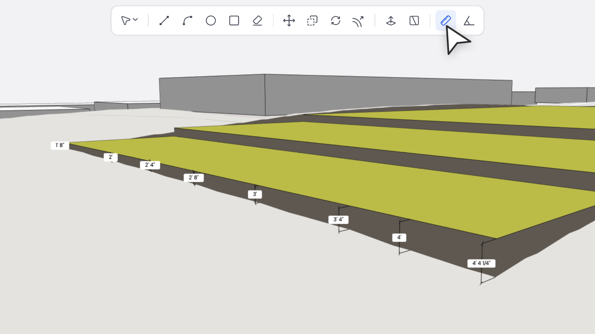
We’ve extended dimension measurement support to cut and fill regions on toposolids.
You can now use the Measure Tool to accurately check distances, slopes, and elevation differences directly on modified terrain surfaces — giving you better control over grading, site adjustments, and earthwork planning.
Why It Matters
- Enables precise verification of grading and contour adjustments.
- Makes cut and fill analysis measurable and reportable.
- Integrates seamlessly into the existing Measure workflow — no new steps needed.
How It Works
- Activate the Measure Tool.
- Hover or click on any cut or fill region on a toposolid.
- The system now recognizes these surfaces and returns accurate dimension data.