Last updated:
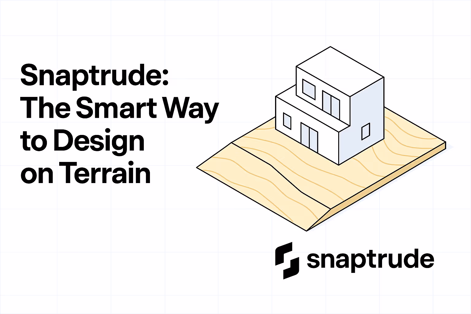
Designing on Contour Sites Doesn’t Have to Be a Struggle Anymore
Contour Sites Shouldn’t Complicate Concept Design
Designing for the real world means working with real sites, and real sites are never flat.
From residential homes to sloped campuses, contour sites are part of everyday architecture. But most design tools treat them like an afterthought.
The result? Architects end up:
- Modeling over flat terrain and guessing slopes later
- Manually adjusting levels in CAD or Revit
- Losing valuable hours just trying to make topography work
This slows down the process, creates rework, and makes early decisions harder than they need to be.
Snaptrude Makes Contour Modeling Easy
Snaptrude lets you bring in contour data and start designing immediately, without complex setup or plugins.
You can:
- Import real-world topography directly from maps
- Snap buildings to terrain and start modeling right away
- Adjust levels with a simple drag
- Visualize basic cut and fill during early-stage design
- Work in context, with live elevation data and massing
It feels as smooth as modeling on a flat site, only smarter, because you're designing with the land. And this makes designing on contoured sites more accurate and less challenging.
Design in 3D, From the Ground Up
Early-stage modeling on terrain is about more than visuals. It’s about understanding how design interacts with slope, ground levels, and site dynamics.
So you’re not just drawing pretty forms, you’re designing solutions that fit the land.
No More Guesswork on Topography
With Snaptrude, there’s no need to “fake flat” and fix it later.
You can:
- Work with actual levels
- Test cut-fill strategies in minutes
- Know how your form sits on site, before you move forward
It’s faster, smarter, and far more concept-friendly than legacy tools.
Snaptrude: Built for the Real World
Great architecture doesn’t happen in a vacuum. Snaptrude understands that the site matters — and we’ve built a modeling engine that adapts to it.
Whether you're working on a sloped plot, a mountain retreat, or an urban site with elevation challenges, Snaptrude makes it simple to model with precision.
Design With the Land — Not Against It
Ready to model directly on contours and design with full topographic context?
Try Snaptrude today and bring your concept designs to life, on real terrain.

